Overview
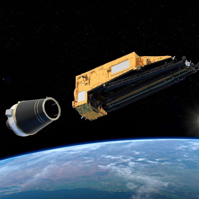
- The Biomass satellite, developed by the European Space Agency (ESA), is in final preparations for its launch from French Guiana on a Vega-C rocket next week.
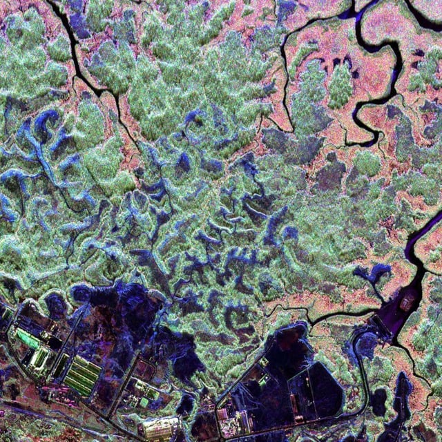
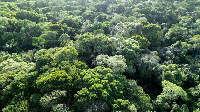
- Equipped with a novel P-band radar, the satellite will create high-precision, three-dimensional maps of forest biomass by penetrating tree canopies and reaching the forest floor.
- The mission aims to address uncertainties in the global carbon cycle by measuring forest carbon storage and emissions, crucial for improving climate projections.
- Over its 5.5-year mission, Biomass will conduct six global mapping campaigns, producing a new forest map approximately every nine months.
- The mission, with a budget of nearly €500 million, marks the culmination of two decades of development and will be operated from ESA's control center in Darmstadt, Germany.